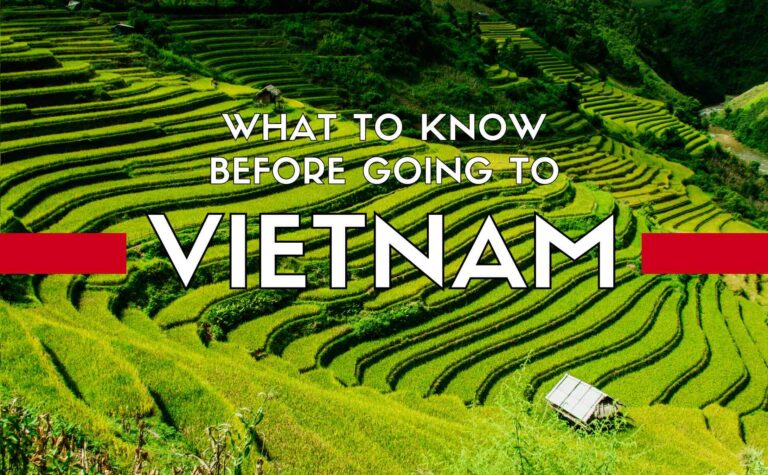
Vietnam Geography | Vietnam Travel Guide & Information
Vietnam Geography & its location
Vietnam is located in the center of Southeast Asia, has a long-land boundary of 4,639km,sharing her northern border with China, her western side with Lao & Combodia;and her eastern & southern border with the East Sea ( South China Sea) and Thai Lan gulf – a long coastal line of 3,260km.The country has an area of approximately 331,210 square kilometers with her shape like a “S” letter and lies near equator, at the longitudes 102°8' and 109°27'E and the latitudes 8°27' and 23°23'N
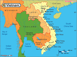
Vietnam Geography in Southeast Asia
Vietnam Geography & its topography
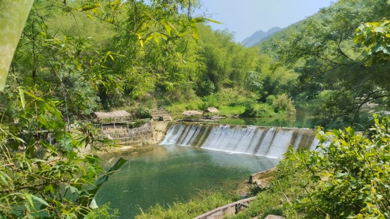
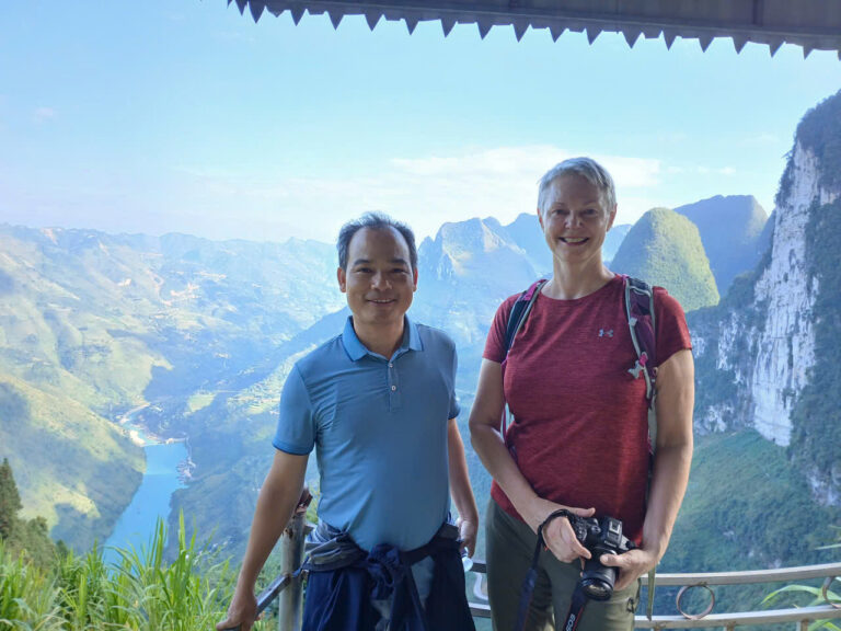
The natural topography of Vietnam is quite diverse with mountains, hills,plains, coasts & continental shelf as a result of tectonic process taken place millions of years in the past. The topography is naturally lower from the northwest to the southeast. Therefore, most of rivers in Vietnam have the stream run following that direction as well.
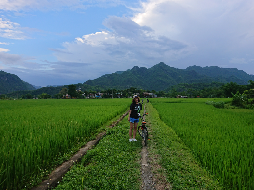
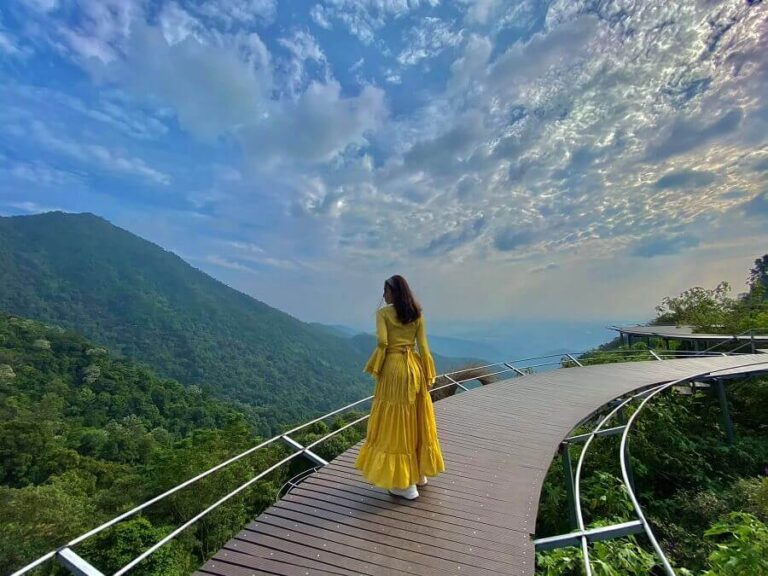
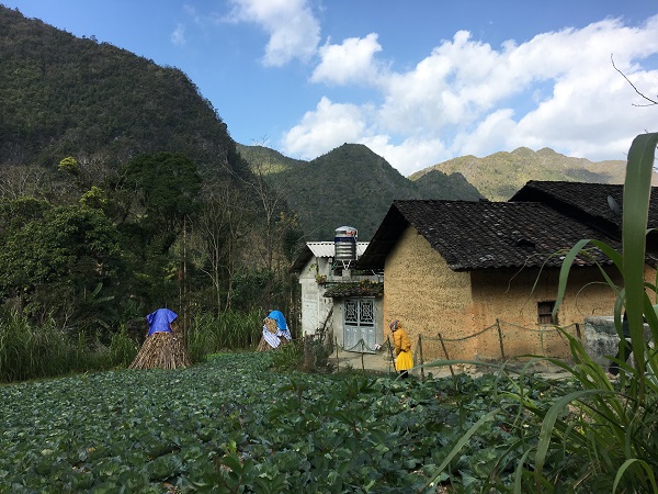
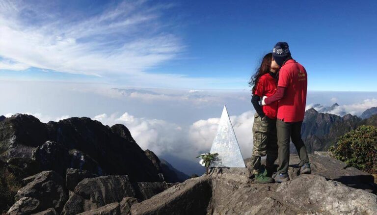
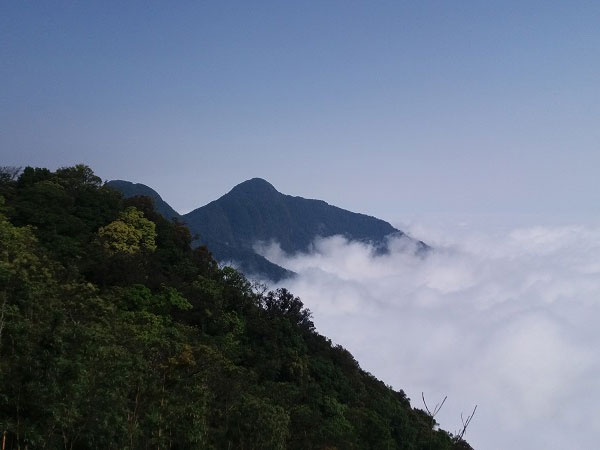
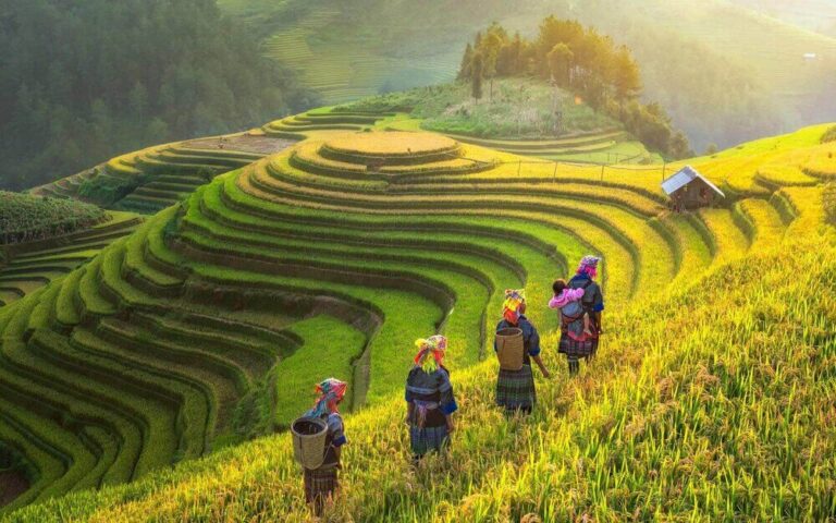
The area of mountains and hills accounts for three quarters of Vietnam’s territory creating the main landscapes of the country.However, 85% of Vietnam’s mountains & hills are low under 1000 metters, and only 1% of mountains that have the height of over 2000 metters, which make the country’s majestic beauty with many nice adventure trekking tour routes.
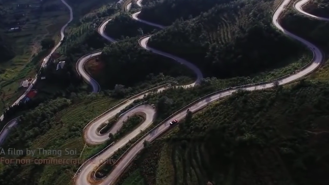
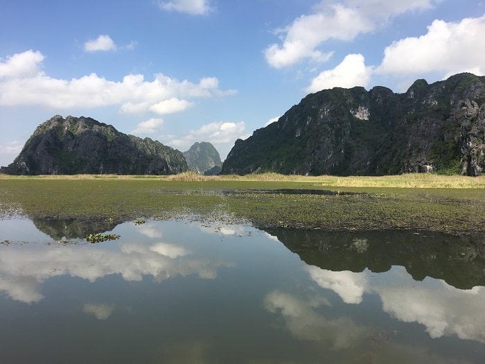
Vietnam Geography– Mountain Pass
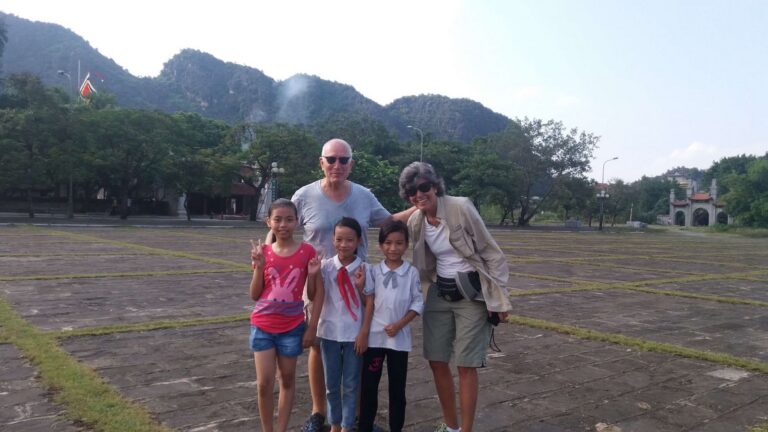
Most of northern terrains of Vietnam are mountainous – the home of many ethnic groups in Vietnam, with low mountains in the Northeast, with high peaks in Northwest where is the location of the highest peak in Vietnam – Fansipan at 3,143 metter high considered as the “Roof of Indochina”.In the central of the Northern part of Vietnam at the down-stream of Red River is the Red River Delta, one of two biggest plains in Vietnam for rice cultivation – two rice bastkets in Vietnam ( Red River Delta & Mekong River Delta). The Central Vietnam shows a big difference in height between the west and the east : while the east is popular with low lands of coastal plains along the coast, the west is featured with high mountain range of Truong Son and Tay Nguyen highlands.The southern Vietnam is quite simple with its flat topography of Mekong River Delta – the biggest rice cultivation area in Vietnam.
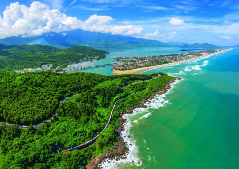
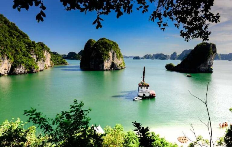
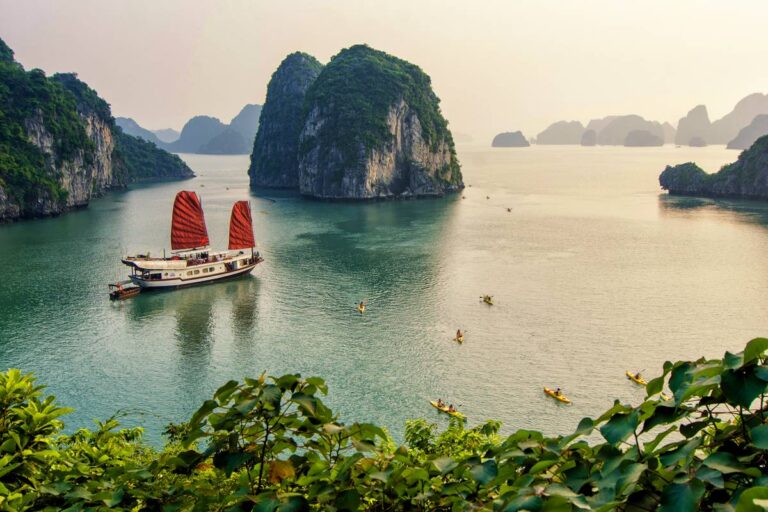
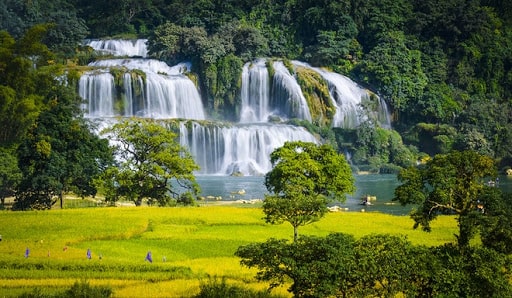
The sea territory of Vietnam is characterized with many islands of small and big sizes, particularly with more than 3,000 islands which belong to Halong Bay, Bai Tu Long Bay, Cat Ba Island, Bach Long Vi Island, etc.. in the gulf of Tonkin.The two biggest archipelagos of Vietnam are Truong Sa Archipelago (Spratly Islands) and Hoang Sa Archipelago (Paracel Islands).

Mountain View of Vietnam Geography
Vietnam Geography & its destinations to explore in your Vietnam trips
For the detailed information of Vietnam geography with different Vietnam attractions for your travel purpose, please, follow our share on Vietnam destinations and plan your trip to Vietnam.In need of local support with local travel advices or travel services of Vietnam holiday packages, tourguide, private car rental with driver in Vietnam, feel free to contact us at https://goldenholidaytravel.comby email ([email protected]) , by +84.988451530 ( Viber, Line, Whatsapp, Zalo) with your questions or enquiries, we are very pleased to assisit you with useful consultancy for your enjoyable trips in Vietnam.


Write Comment